A Record-Breaking Climate Phenomenon
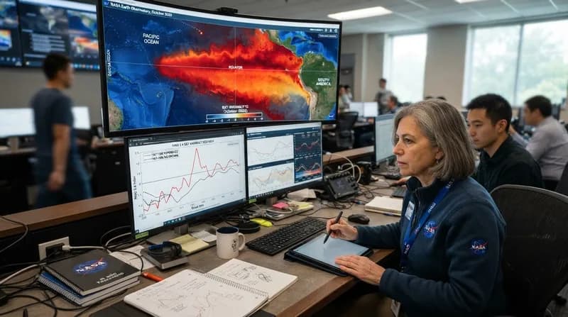
NASA scientists are closely monitoring a rapidly intensifying El Niño event that appears to be on a trajectory to surpass the historic 1997-98 climate episode. By utilizing 35 years of high-precision satellite data, researchers have identified striking similarities between the current oceanic conditions and those observed during the late 20th century, a period known for triggering extreme weather events, catastrophic floods, and widespread agricultural disruption across the globe.
El Niño is a periodic climate fluctuation that emerges when ocean surface temperatures in the equatorial Pacific rise above average, significantly altering global atmospheric circulation. While these events typically occur every two to seven years, their individual behavior—specifically where warm water accumulates and how the atmosphere reacts—remains highly variable. The 2026 event, however, is showing a unique, aggressive development pattern that has moved more abruptly than previous major occurrences.
The Role of Satellite Altimetry
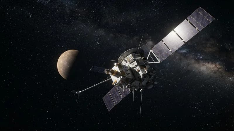
The ability to accurately forecast and compare such massive climate events relies on satellite altimetry. By measuring the precise height of the ocean surface, NASA can track where heat is accumulating; because seawater expands as it warms, higher sea levels in the central and eastern Pacific serve as a direct indicator of the heat stored within the ocean during an El Niño. Data from the Sentinel-6 Michael Freilich satellite, compared against decades of historical records from missions like TOPEX/Poseidon, allows for an unprecedented level of observational consistency.
This 35-year dataset provides a high-resolution view of the Pacific’s shifting dynamics. Current maps reveal a distinct gradient: low sea levels in the west and elevated, warm water spreading eastward toward the South American coast. This specific pattern is a hallmark of the strongest El Niño events on record. By isolating these movements from seasonal variations, researchers are able to quantify just how significant the current climate shift is relative to historical giants.
Predicting Global Impact
Despite the frightening similarities to the 1997 event, experts caution that a strong El Niño does not automatically guarantee identical weather outcomes. The 2015-16 event, which was also exceptionally strong, serves as a prime example of how varied the results can be. During that cycle, the warm water did not track as far toward the South American coast as in 1997, leading to a different distribution of rainfall that favored Central America and the southeastern United States over the patterns seen in the 90s.
The uncertainty lies in how the broader atmosphere interacts with these ocean surface changes. According to the National Oceanic and Atmospheric Administration (NOAA), there is an 83 percent probability that strong to very strong El Niño conditions will persist through the first three months of 2027. While these forecasts highlight the potential for significant disruption, they cannot predict the exact localized impacts with total certainty, as other atmospheric variables come into play once moving further away from the tropical Pacific.
Why It Matters
- Early Warning Systems: 35 years of continuous, overlapping satellite data enable scientists to identify pattern developments in real-time, providing a longer runway for emergency preparedness.
- Economic Consequences: Historical data shows that strong El Niño events can result in multi-trillion-dollar economic losses due to crop failures, drought, and infrastructure damage.
- Climate Complexity: The current event highlights that while climate patterns follow historical trends, each instance is unique, requiring sophisticated modeling to predict regional precipitation and temperature deviations.
As the winter of 2026-27 approaches, the scientific community remains in a state of vigilant observation. While the current data suggests a significant climate event is underway, the final outcome remains a complex, high-stakes variable that will depend on the continued interaction between the warming Pacific and global atmospheric currents.