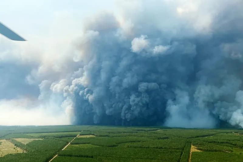
France is witnessing a rare and dangerous meteorological phenomenon as intense wildfires give birth to pyrocumulonimbus clouds, often referred to as 'fire clouds.' These flame-generated thunderstorms are known to significantly exacerbate the intensity of the fires that create them, creating a feedback loop of extreme heat and wind.
The Science of Pyrocumulonimbus
Pyrocumulonimbus clouds form when the intense heat from a wildfire forces air to rise rapidly. As this hot air ascends, it carries smoke and moisture high into the atmosphere, where it cools and condenses. This process creates a localized weather system that can produce dry lightning and powerful downdrafts, which in turn fan the flames on the ground and cause the fire to spread unpredictably.
A Growing Threat in Europe
While historically more common in regions like Australia and North America, these fire-driven storms are now appearing with increasing frequency in Europe. Experts warn that as global temperatures rise and fire seasons become more severe, the presence of pyrocumulonimbus clouds will likely become a recurring challenge for firefighting efforts across the continent.