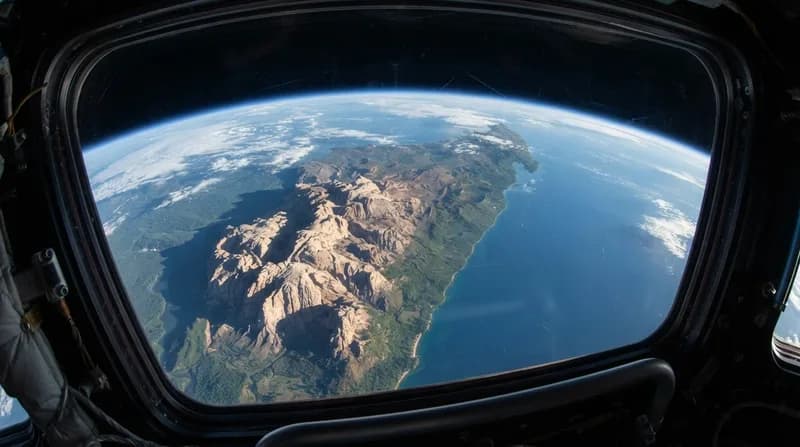
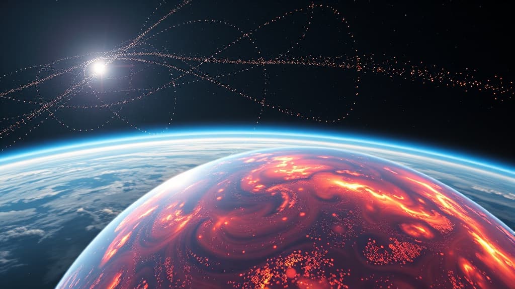
Scientists have successfully repurposed the Starlink satellite network as a massive scanner to study the Earth's upper atmosphere, marking a significant advancement in space research. By leveraging the orbital data from over 1,200 Starlink satellites flying at an altitude of 482 kilometers, researchers can now create detailed, two-dimensional maps of thermospheric density in a latitude-longitude format.
Key Insights
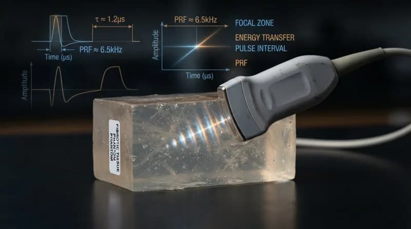
The technique employs tomography, a method traditionally used in medical imaging, to estimate the density of the thermosphere around the satellites. This approach not only enhances our understanding of the upper atmosphere but also has practical applications, such as sharpening satellite tracking capabilities and reducing the risk of collisions in increasingly crowded orbits.