Revealing the Hidden Plumbing of Masaya
In a significant discovery for volcanology, researchers from Penn State University have identified a complex, dual-reservoir magma system beneath Nicaragua’s Masaya volcano. By analyzing six years of data from the Sentinel-1 satellite, the team uncovered evidence that contradicts previous assumptions about the volcano's internal structure. This finding is particularly vital given the volcano’s proximity to nearly 2 million people, making the precise monitoring of its underground activity a matter of public safety.
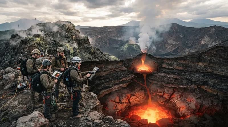
Masaya is famous for its persistent lava lake and frequent emission of sulfur dioxide, which can pose health risks to local communities even in the absence of a full-scale eruption. The discovery of these distinct, behaving-independently magma chambers suggests that the volcano’s "plumbing system" is far more intricate than previously thought. By distinguishing between these reservoirs, scientists are moving closer to a more nuanced understanding of how volcanic hazards evolve over time.
The Technology Behind the Detection
To peer deep beneath the surface, the researchers utilized Interferometric Synthetic Aperture Radar (InSAR). This advanced satellite technique is uniquely suited for monitoring tropical regions like Nicaragua, where dense cloud cover frequently obscures conventional optical imagery. Because the synthetic aperture radar sends microwave signals that can penetrate clouds, the team was able to maintain consistent data collection every 12 days.
The InSAR process functions by comparing the precise distance between the satellite and the Earth’s surface across multiple passes. By detecting even the most subtle millimetric shifts in ground elevation, the team could map exactly where the surface was uplifting or subsiding. This data allowed them to infer the movement of molten rock deep underground, as rising ground often signals the influx of magma, while subsidence may indicate the draining of a reservoir.
Divergent Movements and Future Implications
The study, published in Geophysical Research Letters, highlighted a striking discrepancy in the volcano's movement between 2018 and 2024. During this period, the broader caldera initially subsided before shifting to an uplift phase, suggesting that a deeper magma source was recharging the system. Simultaneously, the area surrounding the active Santiago crater exhibited a persistent, independent downward movement, indicating that a shallower reservoir was likely losing magma.
Why It Matters
- Enhanced Forecasting: Distinguishing between normal background shifts and true warning signs of an eruption is essential for timely public alerts.
- Safety for Millions: With 2 million people residing within 13 miles of the volcano, every improvement in hazard modeling translates directly to better disaster preparedness.
- Global Model: The methods developed here provide a new template for monitoring other basaltic, lava-lake-hosting volcanoes globally.
While the current observations do not indicate any immediate threat to the surrounding population, the researchers emphasize that establishing a baseline of "normal" activity is the only way to identify future anomalies. As the team continues to refine their computer models, they hope to transition these findings into a permanent monitoring protocol that will allow authorities to detect signs of heightened volcanic risk long before they manifest at the surface.