A New Baseline for Antarctic Winter
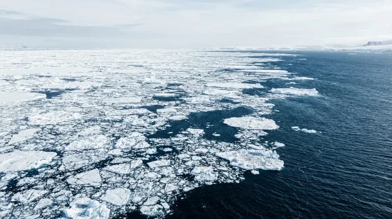
The vast frozen expanse of Antarctica has long been considered a pillar of planetary climate stability, but recent data from NASA and the National Snow and Ice Data Center suggests this status is rapidly evolving. On September 14, 2026, the region reached its annual maximum sea ice extent, peaking at 17.59 million square kilometers. While that figure may seem substantial, it represents the third-lowest winter maximum recorded since satellite monitoring began nearly five decades ago, painting a concerning picture of the continent's changing environment.
Unlike the Arctic, where sea ice is contained within an enclosed basin, the Antarctic ice pack is free to expand outward into the Southern Ocean. During the winter months, this ice typically reaches far into lower, warmer latitudes before retreating in the spring. The 2026 data confirms that even with this unique geographical advantage, the ice is struggling to maintain its historic footprint, fueling debate among climatologists over whether the region has entered a permanent state of decline.
The Great Reversal: From Growth to Decline
For decades, Antarctica presented a climate paradox. Between 1979 and 2014, sea ice coverage around the continent actually increased by roughly one percent per decade, a phenomenon that stood in direct opposition to the melting observed at the North Pole. This period of growth reached a crescendo between 2012 and 2014, when the region shattered records for consecutive years. However, this trend proved to be short-lived, with a sharp reversal taking hold in 2016.
The shift became particularly alarming in 2023, when the continent recorded the lowest summer minimum and the lowest winter maximum in the satellite era. Researchers are currently evaluating whether the ongoing data from 2026 is part of a broader, long-term transformation or merely a period of high statistical variability. Understanding this distinction is critical, as the loss of sea ice can accelerate the melting of land-based ice sheets and disrupt global ocean currents.
Why it Matters: The Satellite Perspective
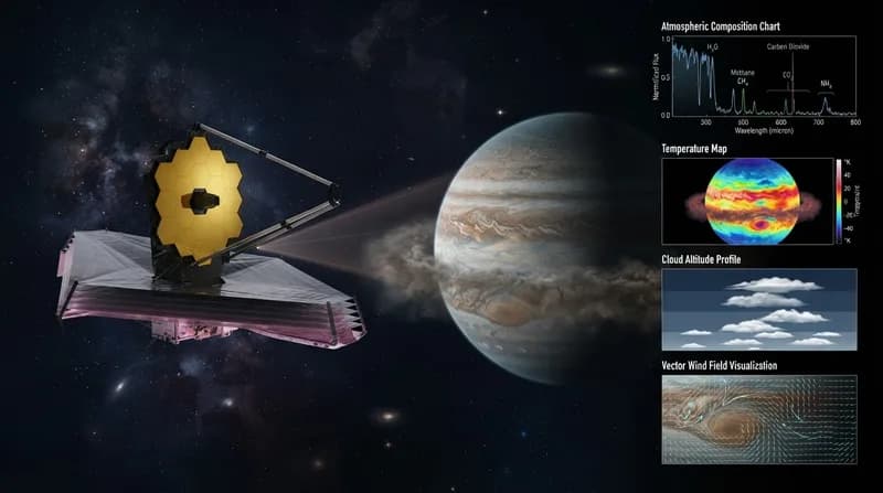
Tracking such a vast and often inaccessible area relies heavily on advanced remote sensing. Scientists employ passive microwave sensors to distinguish between frozen surfaces and open water. Because these sensors capture microwave energy—which can penetrate dense cloud cover—researchers are able to maintain an unbroken record of the ice pack regardless of the harsh, stormy conditions typical of the Southern Ocean.
- Continuous Monitoring: The data record spans from 1978 to the present, utilizing instruments from the Nimbus-7 spacecraft through the modern GCOM-W satellite.
- Methodology: By applying a 15 percent threshold for ice concentration, researchers calculate total extent with high precision.
- Global Implications: The reduction in sea ice coverage potentially alters the albedo effect, where the loss of reflective white ice leads to increased heat absorption by the dark ocean, creating a feedback loop of warming.
Future Outlook
As the scientific community continues to digest the 2026 findings, the focus shifts toward long-term modeling. While the satellite record provides a robust foundation for identifying trends, the complex interaction between ocean temperatures, wind patterns, and atmospheric rivers remains a subject of intense scrutiny. The next few years will be pivotal in determining if the current low-extent trend is the new "normal" for the Antarctic, or if the region holds the capacity for a resilience not yet captured by current climate models.