
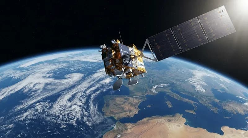
A New Sentinel Takes Its Post
The European Space Agency (ESA) has confirmed that its newly launched Copernicus Sentinel-3C satellite is already proving its worth. Less than a fortnight since reaching orbit, the spacecraft has delivered a series of breathtaking, high-resolution images of Earth, ranging from the snow-dusted peaks of the Alps to the shimmering turquoise waters of the Caribbean. Beyond these visual highlights, the satellite has begun the critical work of gathering scientific data, successfully calibrating its instruments to track the health of our changing climate.
As the third member of the Sentinel-3 constellation, this satellite is a cornerstone of the Copernicus program. It is designed to monitor Earth’s oceans, land, atmosphere, and cryosphere with unprecedented precision. While the satellite is still undergoing a five-month commissioning period to ensure every system is perfectly tuned, early telemetry suggests that its primary sensors—specifically its color-imaging instruments and radar altimeters—are performing well above expectations.
Mapping the Italian Peninsula
Among the first sets of data received was a striking natural-color mosaic of Italy and the surrounding Mediterranean region. Captured on September 30, the image provides a vivid demonstration of the satellite's ocean and land color instrument. The frame spans from southern Germany down to Sicily, offering a detailed look at the Po Valley's agricultural landscape, which appears in a rich tapestry of greens and browns.
The imagery also reveals subtle environmental processes in action. Along the Adriatic coast, the satellite captured distinct bands of light blue water, likely representing sediment runoff from rivers being redistributed by currents. By contrasting the deep, dark blues of the Tyrrhenian Sea against the lighter coastal waters, the instrument provides researchers with a clear view of how land runoff interacts with marine ecosystems, providing data that will be crucial for monitoring water quality.
The Arctic in Transition
In a dramatic shift from the sun-drenched Mediterranean, the satellite also turned its focus to the Canadian Arctic Archipelago. Taken during the seasonal minimum of Arctic sea ice, the image highlights the stark reality of a warming planet. The landscape is a jagged mix of exposed rock, frozen fjords, and lingering patches of sea ice. These observations are vital for climate science, as the loss of reflective ice exposes darker water that absorbs more solar energy, further accelerating the local warming cycle.
By utilizing complementary imaging tools, the satellite helps scientists quantify the rate at which glaciers and ice sheets are losing mass. The data gathered here allows for a better understanding of how regional environmental changes in the Arctic contribute to larger, global atmospheric and ocean shifts, providing a foundation for long-term climate modeling.
Precision Measurements of Sea Level and Ice
Perhaps the most critical mission objective for Sentinel-3C is the monitoring of global sea levels. The onboard synthetic aperture radar altimeter has already begun measuring the elevation of the Atlantic Ocean and the Mediterranean. When compared against existing multi-mission datasets, the initial results from Sentinel-3C have shown excellent alignment, confirming the instrument's accuracy.
Additionally, the satellite has successfully tracked the surface elevation of the Greenland Ice Sheet. By comparing these early orbital measurements with high-precision digital elevation models, researchers have confirmed that the satellite is capable of detecting even minor variations in ice height. As sea-level rise continues to accelerate—currently averaging about 3.64 mm per year since 1999—these precise, repeating measurements are essential for predicting how ice melt will impact coastal communities worldwide.